In July 2024, a viewer sent a local TV station video of Oyster Lake pouring into the Gulf of Mexico near the West Allen Beach Access. Beachgoers had gathered along the sand to watch, and a few waded in with boogie boards to ride the outgoing current. Nobody had scheduled this. The lake had simply reached the point where it needed somewhere to go, and it took the shortest path available, straight through the dune and out to sea.
If you live in Dune Allen, you have probably seen some version of this. It is one of the small, recurring facts of life here: the lake behind your house is not always a lake. Every so often it becomes a river, briefly, and then closes back up as if nothing happened. What most people watching from the sand do not know is that the footbridge they are standing near, the one carrying Highway 30A traffic and Timpoochee Trail cyclists over that same outfall, is not neutral infrastructure. It is the physical resolution of a decades-long argument over who controls that channel, an argument that produced a settlement kept sealed for years and a set of engineering decisions the county is still actively revising this fall.
A Fifty-Thousand-Dollar Parcel Nobody Could Build On
The land immediately east of the Oyster Lake outfall changed hands in 1992, sold by Florida State University to Patricia and William Hemby for fifty thousand dollars. That price only makes sense in context: comparable buildable Gulf-front land nearby would have gone for many multiples of that figure, because the Hemby parcel sat inside the outfall's meander, the unpredictable path the lake cuts across the beach when it drains. A 1998 study prepared for the Florida Department of Environmental Protection by A.E. Browder and R.G. Dean measured that meander directly and found the outfall's intersection with the Gulf can land anywhere along roughly a 400-foot stretch of shoreline. Nobody builds a house in a 400-foot swing zone, or at least nobody should have been able to.
The Hembys eventually argued otherwise. Between 1995 and 2005, several hurricanes clogged the old box culvert under the bridge with sand and debris. When the county opened it to let the lake drain, the water crossed onto Hemby property rather than staying in the stabilization channel DEP had built back in 1988. The county diverted the flow back, but not before some of the property was damaged, and in 1995 the Hembys sued for loss by taking. A Walton County jury denied the claim. An appeals court in Tallahassee reversed that decision. The Florida Supreme Court declined to hear the county's further appeal, which meant the reversal stood.
What followed was a mediation agreement, not a public ruling. The county agreed to pay $525,000 and, more consequentially, agreed to send DEP a letter stating that the outfall's stabilization channel would no longer be treated as a natural outfall once built. That single sentence mattered because it let DEP issue a construction permit inside the standard 50-foot outfall setback buffer, a protection everyone else on the lake still has to observe. No other lake landowners and no members of the public were consulted. The agreement stayed sealed until it surfaced in 2020, nearly a decade after most of the parties involved had moved on.
The Culvert That Acted Like a Dam
The bridge itself has its own separate history. When Highway 30A was completed in 1960, the crossing over Oyster Lake's outfall rested on pilings, which let water move freely between lake and Gulf. Sometime in the 1960s, the county replaced those pilings with a culvert. It was installed improperly, and instead of allowing the same natural rhythm, it held the lake at an artificially high level, functioning less like a passage and more like a dam. That mistake sat unresolved for over fifty years, through the Hemby litigation and beyond, until the county finally fixed it in 2014 with the bridge that carries traffic over the outfall today.
The fix that followed the bridge was even more involved. Records show the county approved an emergency repair in August 2016 after the road began failing near the bridge, then permitted a full restoration through DEP in February 2017 and completed construction later that year. What went into the ground afterward is documented in a FEMA case study of the project: a channel 12 feet deep and 500 feet long, sides sloped at a 3-to-1 gradient, reinforced with more than 2,000 square yards of engineered turf matting and earth anchors, and 2,000 sea oats planted directly into the system to hold it together. The material was chosen deliberately over rock or concrete, because Walton County wanted a solution that would stabilize the slope without destroying the vegetation or the habitat of species including the Choctawhatchee beach mouse and nesting sea turtles.
That project got tested almost immediately. In October 2018, Hurricane Michael made landfall as a Category 4 storm roughly 60 miles east of Oyster Lake, bringing winds up to 80 miles per hour along with storm surge and heavy rainfall to the site. The vegetated slopes held. FEMA's case study credits the reinforcement with protecting nearby homes, the Highway 30A crossing, the bridge itself, and the section of the Timpoochee Trail that runs along that stretch of the road.
The County Isn't Finished
None of this is settled history. The Walton County Coastal Dune Lake Advisory Board, made up of residents and county staff, met during Coastal Dune Lake Week in late October 2025 and reported that the county had purchased property just west of Oyster Lake specifically for a new outfall-related project, with the Tourist Development Council in design development on a passive-access improvement there. The same meeting covered a broader multi-year effort to convert culverts to bridges across the county's dune lakes: five conversions completed so far, Stallworth Lake identified as the next target, and work already underway at Western Lake. County staff described the rationale in blunt terms, saying bridges over these outfalls improve fish passage, reduce problems with beaver dams, and support evacuation-route resilience during storms, the same resilience that Highway 30A leaned on when Hurricane Michael arrived.
The Advisory Board meets quarterly, and its next session is scheduled for September 30, 2026, at the South Walton Annex, with a livestream available through the county's civic portal. If you have ever wondered who decides what happens the next time Oyster Lake decides to open, that meeting is where the decisions get made, in a public room nine days from now, not behind a sealed settlement.
What You're Actually Standing Next To
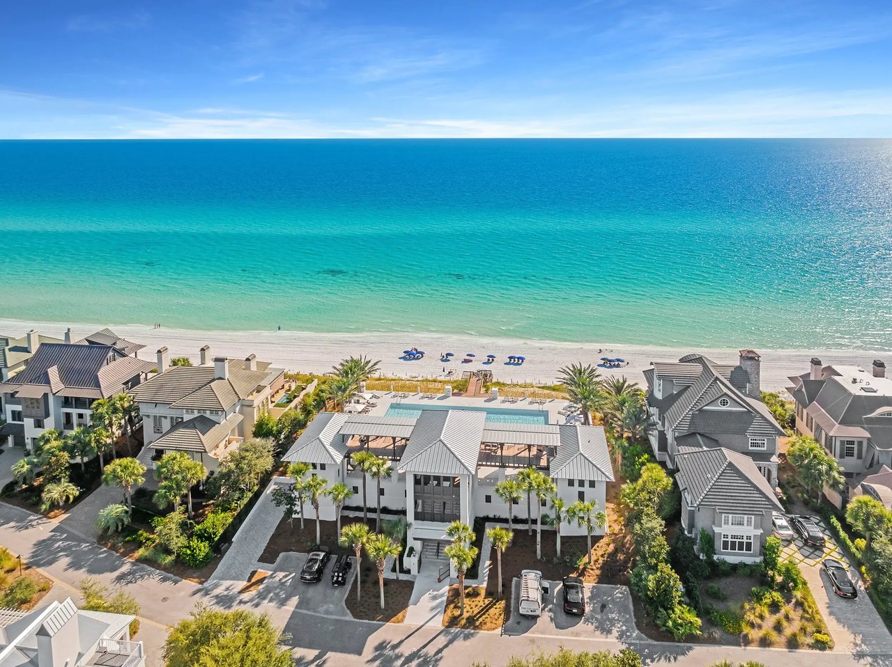
Dune Allen holds five of Walton County's fifteen named coastal dune lakes: Allen, Campbell, Morris, Oyster, and Stallworth, which is part of why the area carries the nickname South Walton's all-natural neighborhood.
- Allen Lake sits on the western edge, with Stinky's Fish Camp and its adjoining Stinky's Bait Shack built right along the shore, a fixture for anyone who has ever needed live bait or a bowl of Stinky's Stew in the same stop.
- Oyster Lake is the one with the footbridge and the legal history above, its shoreline shaped enough like the shell it's named for that the pattern is visible from the air.
- Stallworth Lake is largely inaccessible except by a beach walk from a public access point, which keeps it quieter than its neighbors.
- Campbell and Morris Lakes sit inside Topsail Hill Preserve State Park, reachable by nature trail rather than by road.
The Timpoochee Trail threads through all of this. Riding east from the Santa Rosa Beach terminus, you pass Stallworth Lake at mile 1.4, Allen Lake at 1.8, cross to the beach access at 2.1, and cross the Oyster Lake outfall itself at 2.3, right where the bridge does its work. A half mile past that sits Vue on 30A, the Gulf-front restaurant built into the dune above the outfall, part of the Santa Rosa Beach Club and open to the public, with the golf course across the road.
None of that changes when the lake happens to be open to the Gulf. What does change is the current. When the outfall is running, the water moving through that channel can be fast enough to matter, and the standing local guidance is to watch from the edge rather than wade into a moving cut in the sand. The kids with the boogie boards in that 2024 video got lucky. The county's Coastal Resource Liaison put the underlying philosophy simply when asked about it: "These are natural systems. We want to see them open and close naturally." The engineering, the litigation, and the quarterly meetings all exist to make sure that when the lake does open, it opens somewhere the county has already planned for, not somewhere a fifty-thousand-dollar parcel happens to sit.
If you already call Dune Allen home and you're curious how projects like the Oyster Lake passive-access redesign or the Allen Loop drainage work might touch your stretch of the neighborhood, or you're weighing what it means to own on the lake side versus the Gulf side of 30A here, Randy Carroll Realty has spent decades watching this stretch of coast change and can walk you through it. Contact the CJB Group for a private consultation.